Koni Mühendislik
Koni Mühendislik
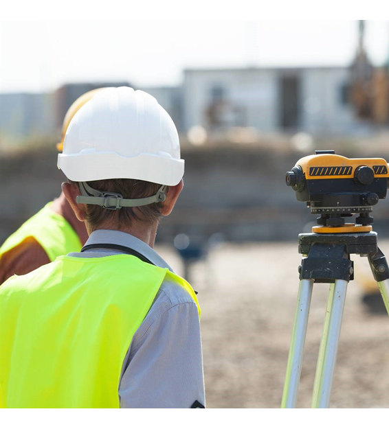
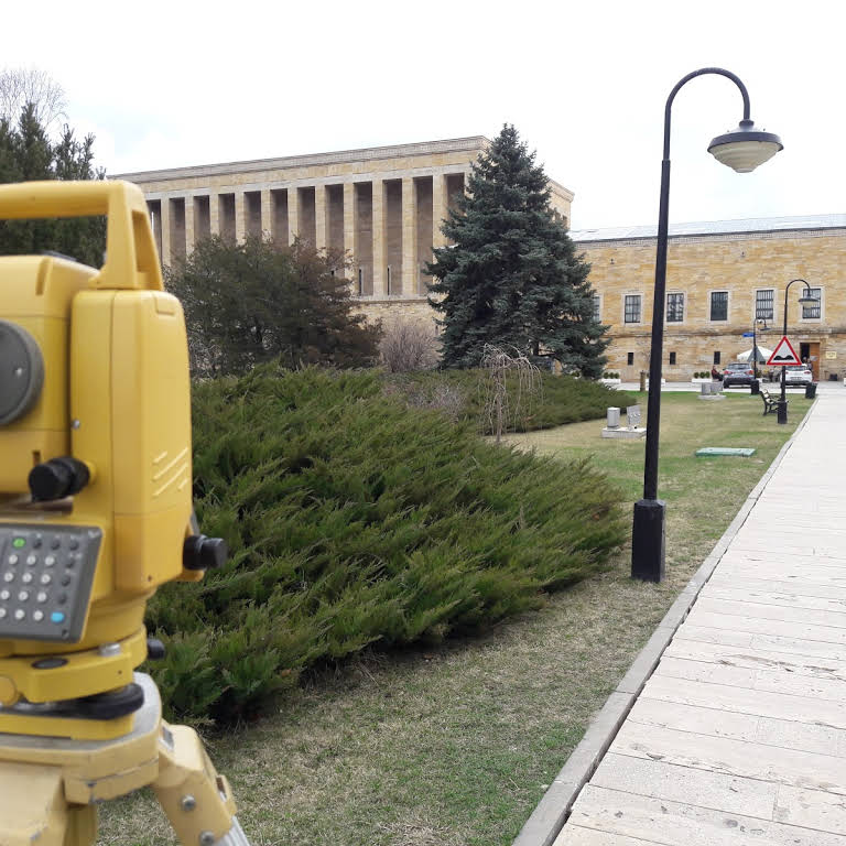
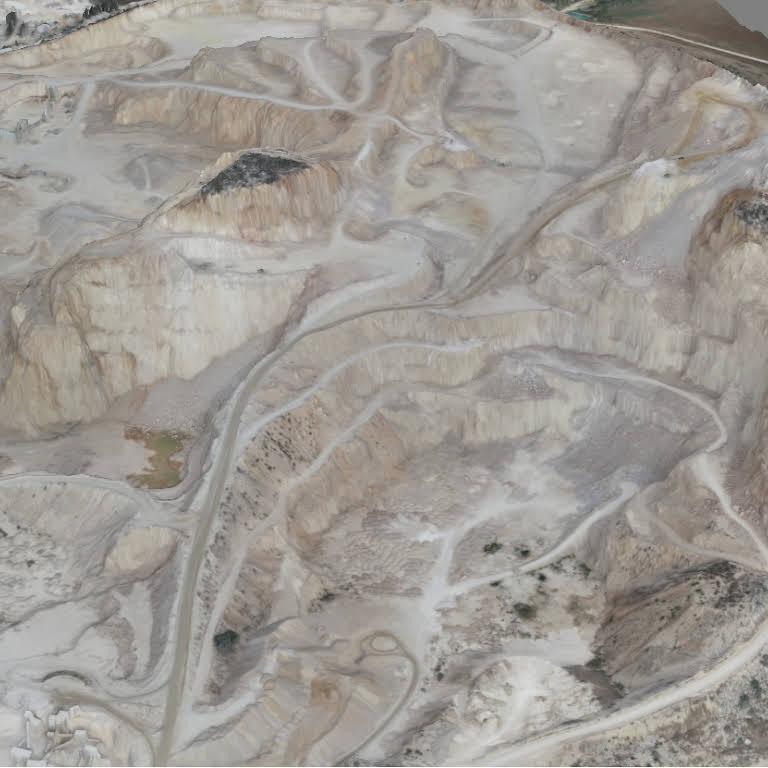
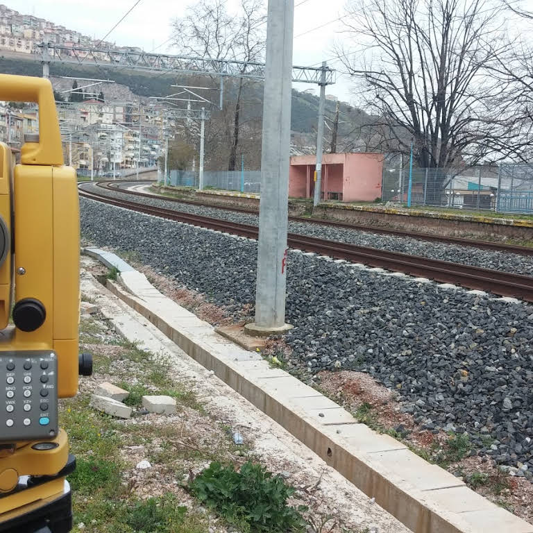
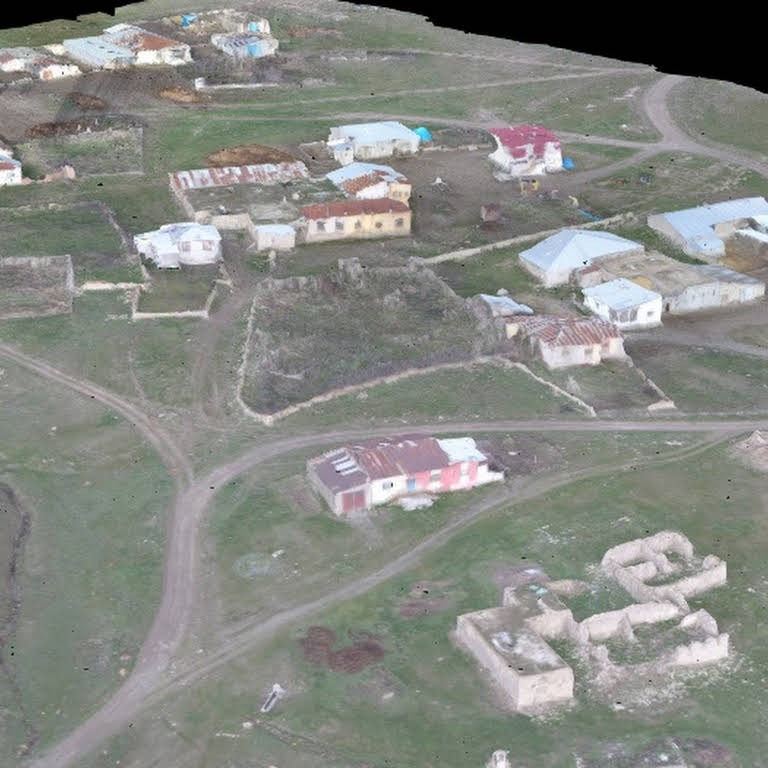
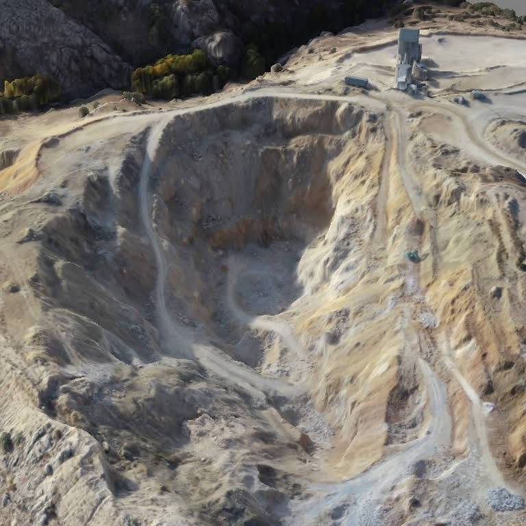
Our company, which was established in 2015 to carry out Map Engineering Activities, continues its activities successfully with its expert staff and equipments today. Being the best among our competitors in the sector with our equipment suitable for today's conditions and experienced staff in the fields we operate is among our primary goals.