Koni Mühendislik
Koni Mühendislik

Our company, which was established in 2015 to carry out Map Engineering Activities, continues its activities successfully with its expert staff and equipments today. Being the best among our competitors in the sector with our equipment suitable for today's conditions and experienced staff in the fields we operate is among our primary goals.
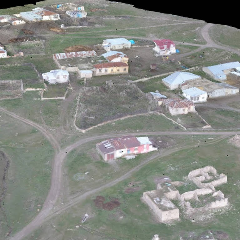
Photogrammetric maps are the maps created after taking pictures of the land with drone, plane, satellite and evaluating it.
For What Purposes Is It Applied?
Using the photographic images taken in accordance with the purpose of the project site, the production of the topographic surface and other details of the land with special 3D software.
Environmental pollution, agricultural yield calculation with multispectral band detection cameras.
Accurate and timely decision making with regional and purposeful map production and speed.
Usage Areas of Photographic Maps: