Koni Mühendislik
Koni Mühendislik

Our company, which was established in 2015 to carry out Map Engineering Activities, continues its activities successfully with its expert staff and equipments today. Being the best among our competitors in the sector with our equipment suitable for today's conditions and experienced staff in the fields we operate is among our primary goals.
1-Map (Plan) Example:
It is a sample taken exactly from the registered map of the parcel. It is also called cadastral diameter among the people.
2-Showing the parcel on site:
It is the demonstration of the location of the immovable property to the person concerned by making use of the map without any measurement process.
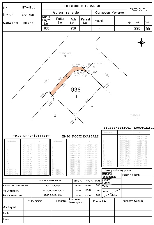
3-Application:
It is the process of re-specifying the parcel corner points on the registered map on the ground. It is also called a sketch with references among the people.
4-Gender change:
When the type of an immovable property is unstructured (land) or built (building), it becomes unstructured: vineyard, garden, field, etc. It is the process done on the map and in the land registry in order to transform the land into a vineyard, garden, etc. when it is a land.
5-Easement Right Establishment or Abandonment:
Easement; It gives the owner the authority to use and benefit on the immovable that is the subject of the right. These are the procedures that must be done for the rights defined by the civil law and other relevant laws to be shown on the maps and documents of the relevant immovable properties and for their registration or abandonment.
6-Unification (Tawhid) operations:
It is the process of converting multiple adjacent parcels into one parcel.
Separation maps:
Separation (extraction) process in its simplest definition; The division of an immovable property into two or more parts. It is the registration process after a parcel is divided into two or more parts in accordance with the articles 15 and 16 of the zoning law upon the request of the person concerned and it is decided by the municipal committee.
Separation is carried out under the responsibility of a freelance map and cadastral engineer, pursuant to article 2 of the regulation on maps and plans subject to registration.