Koni Mühendislik
Koni Mühendislik
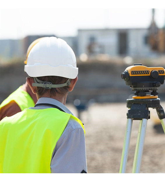
Our company, which was established in 2015 to carry out Map Engineering Activities, continues its activities successfully with its expert staff and equipments today. Being the best among our competitors in the sector with our equipment suitable for today's conditions and experienced staff in the fields we operate is among our primary goals.
Lidar (Light Detection and Ranging) is a technology that measures the distance and position of objects using high-intensity laser beams. Lidar is used in many application areas, especially in areas such as mapping, object detection and autonomous driving systems.
Lidar studies often cover topics such as environmental mapping and object detection. A lidar device uses laser beams to detect surrounding objects and measure their properties such as distance, height, width. Lidar systems send laser beams to the environment and detect the returning signals as these beams hit objects and are reflected. The duration and intensity of these reflections are used to determine the position and properties of objects.
Lidar technology is widely used in detection systems, especially for autonomous vehicles. Autonomous vehicles constantly scan their surroundings with lidar and travel safely by sensing the objects around them. Lidar helps autonomous vehicles map their environment and detect objects, thanks to its high sensitivity and fast response.
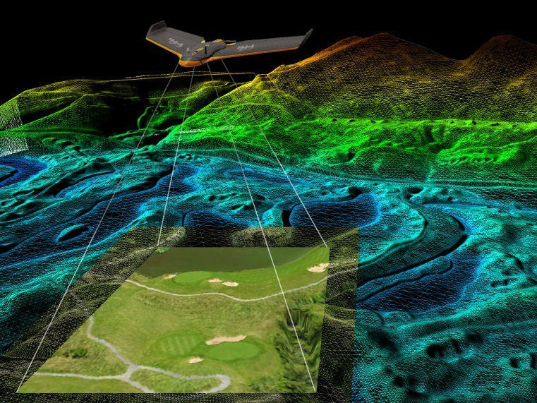
In addition, lidar is used in many application areas such as land mapping, construction projects, environmental monitoring, air quality analysis, forest inventory. Lidar technology can be used to determine terrain features by creating high resolution and detailed maps. It also plays an important role in disaster management and emergency response, because lidar can quickly and accurately identify damaged areas and aid in rescue operations.
Lidar technology is developing rapidly, and studies are continuing on the development of smaller, lower cost and more sensitive lidar devices. These developments allow lidar to be used in wider application areas and more widely.