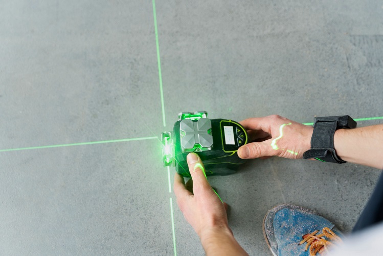
LiDAR systems are among the most advanced technologies used to obtain high-accuracy data in surveying engineering. LiDAR survey services are a modern measurement method that enables rapid and high-precision scanning of terrain, structures and environmental elements using laser scanning technology. Koni Engineering provides reliable and detailed survey solutions for projects with its advanced LiDAR technologies and expert engineering team.
Thanks to LiDAR technology, large areas can be scanned rapidly and detailed datasets can be generated by collecting millions of measurement points. This method provides significant advantages, especially in hard-to-access areas, regions with dense vegetation and large-scale projects. LiDAR survey services offered by Koni Engineering enable detailed analysis of terrain characteristics and contribute to the preparation of projects with more accurate data.
LiDAR survey applications are used in a wide range of engineering and planning projects. The data obtained enables a more detailed analysis of terrain characteristics and existing conditions.
- ✔ High-Precision Terrain Surveys
- ✔ 3D Terrain Model Generation
- ✔ Point Cloud Data Generation
- ✔ Mapping and Planning Studies
- ✔ Data Production for Engineering Projects
- ✔ Rapid Surveying of Large-Scale Areas
Data obtained through laser scanning technology is processed using advanced software and utilized in detailed mapping and modeling applications. With its advanced surveying equipment and technical expertise, Koni Engineering delivers professional LiDAR survey services across various sectors, providing high-accuracy data for projects.
For more detailed information, you can visit our contact page and follow us on our social media accounts.