Discovery & Scope
We define the requirements, assess site conditions, and determine data needs. We establish the project scope, methodology, deliverables, and timeline.
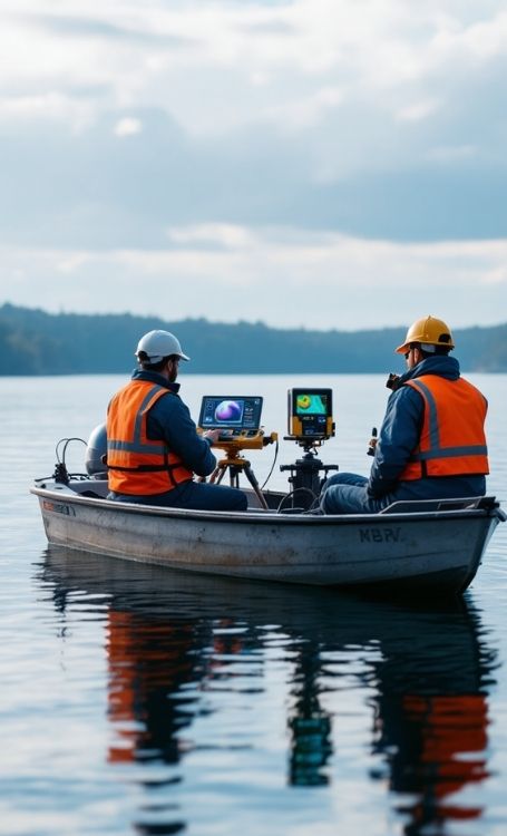
We provide reliable solutions in topographic base mapping, cadastral projects,
UAV-based mapping, LiDAR and digital photogrammetry
through modern equipment
and engineering discipline.

Our References


As Koni Engineering, we provide reliable, fast and regulation-compliant solutions in land surveying, map production and engineering projects with our modern equipment and expert team.
As Koni Engineering, we do not just produce drawings; we add real value to your projects by ensuring accuracy, speed, technical compliance, and cost efficiency.
We manage all processes in a planned manner from discovery to delivery, provide regular updates, and meticulously apply technical quality controls.

We use modern surveying technologies such as GNSS, Total Station, UAV, and LiDAR in an integrated manner to produce high-precision, verifiable, and analyzable data; we meticulously manage the entire process from fieldwork to office operations, completing your projects in a reliable and sustainable way in compliance with technical standards.
Using GNSS, Total Station, and advanced surveying equipment, we produce data with millimeter-level accuracy, ensuring your projects are built on reliable foundations.
We prepare all mapping and cadastral works in accordance with the relevant institutional standards and current technical regulations.
We provide measurement and analysis results through clear, technically verifiable reports and drawings to support your decision-making processes.
We execute your projects in a planned and controlled manner with experienced survey engineers and technical staff.
We implement multi-stage quality control in both field and office operations to ensure data accuracy and technical reliability.
We analyze large areas quickly and with high accuracy using UAV, LiDAR, and digital photogrammetry systems, saving valuable time.