High-Resolution Spatial Data Production
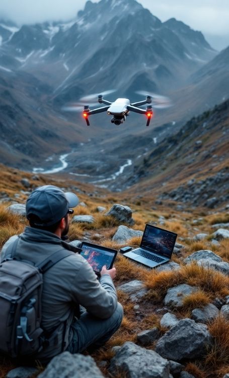
Koni Engineering provides digital photogrammetry services for the rapid, cost-effective and high-accuracy modeling of large areas. Using UAV (unmanned aerial vehicle) systems and advanced image processing software, we convert the terrain surface into digital data and produce project-based orthophotos and 3D models. Digital photogrammetry offers extensive area coverage in a shorter time compared to conventional surveying methods, providing a strong data infrastructure for topographic modeling, volume calculations and planning processes.
Surveying and Data Processing Process
We begin the process with flight planning. Based on the size of the project area, terrain characteristics and the required resolution, we determine the flight altitude and line spacing. We establish ground control points (GCPs) through precise GNSS measurements to ensure positional accuracy. After the field flight operation, the acquired images are processed using specialized software. Overlapping photographs are matched to generate a point cloud, followed by the production of a digital surface model (DSM), digital terrain model (DTM) and orthophoto map. All data is processed in accordance with the national coordinate system and delivered together with a technical report.
Areas of Application
Digital photogrammetry is effectively used in topographic base map production, volume calculations for mining sites, construction progress monitoring, road and infrastructure projects, urban planning studies and environmental analyses. It also provides time savings and data consistency in projects that require periodic monitoring of large areas. The generated orthophotos and 3D models provide technical data that can be directly used in engineering projects.
Digital Photogrammetry Services
Koni Engineering carries out digital photogrammetry applications as a comprehensive engineering service supported by advanced data processing techniques. Image acquisition, data processing, 3D model generation and accuracy checks are performed with great precision. Through this process, we produce high-resolution and measurable spatial datasets that can be directly used in engineering projects. The technical outputs generated provide a strong data infrastructure for planning and analysis processes. From field planning to data processing and model generation, we manage every stage in a controlled manner and conduct accuracy analyses with meticulous care. Our goal is to produce high-resolution, measurable and sustainable spatial data for your projects while supporting your decision-making processes with reliable technical outputs.